
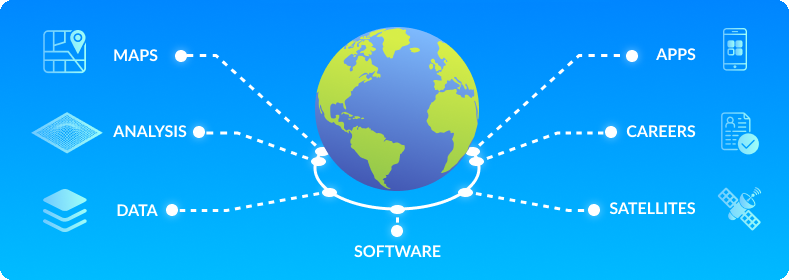

Mapping & Cartography
We create high-quality static and digital maps tailored for planning, communication, and decision-making.
Read More

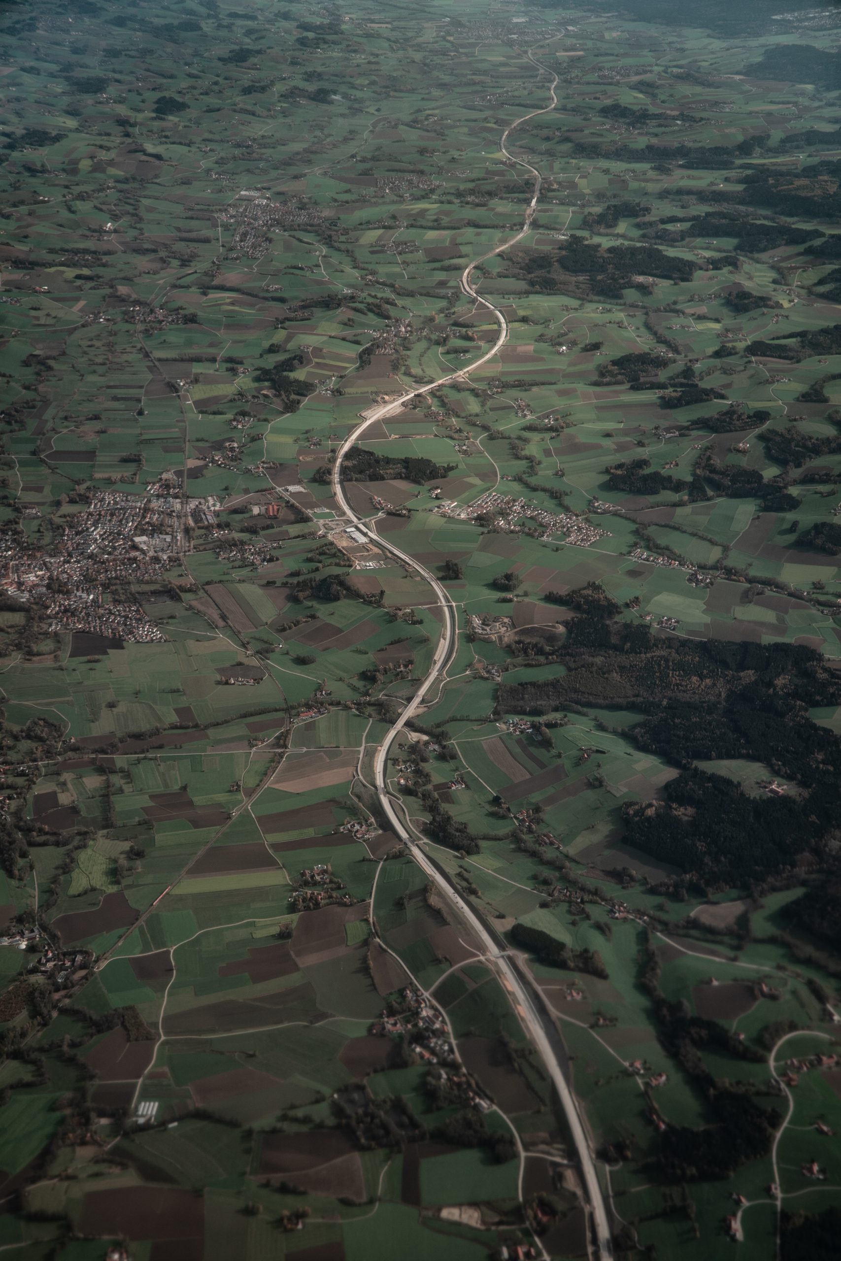
Remote Sensing & Drone Mapping
Our analysts extract actionable insights from satellite imagery and drone surveys for agriculture, land use, and terrain modelling.
Read More
GIS Database Design & Data Cleaning
We structure and clean geospatial datasets, ensuring your spatial data is accurate, standardized, and analysis-ready.
Read More

Web GIS & Dashboard Development
We build interactive mapping platforms and real-time dashboards to help teams visualize trends and make better decisions.
Read More
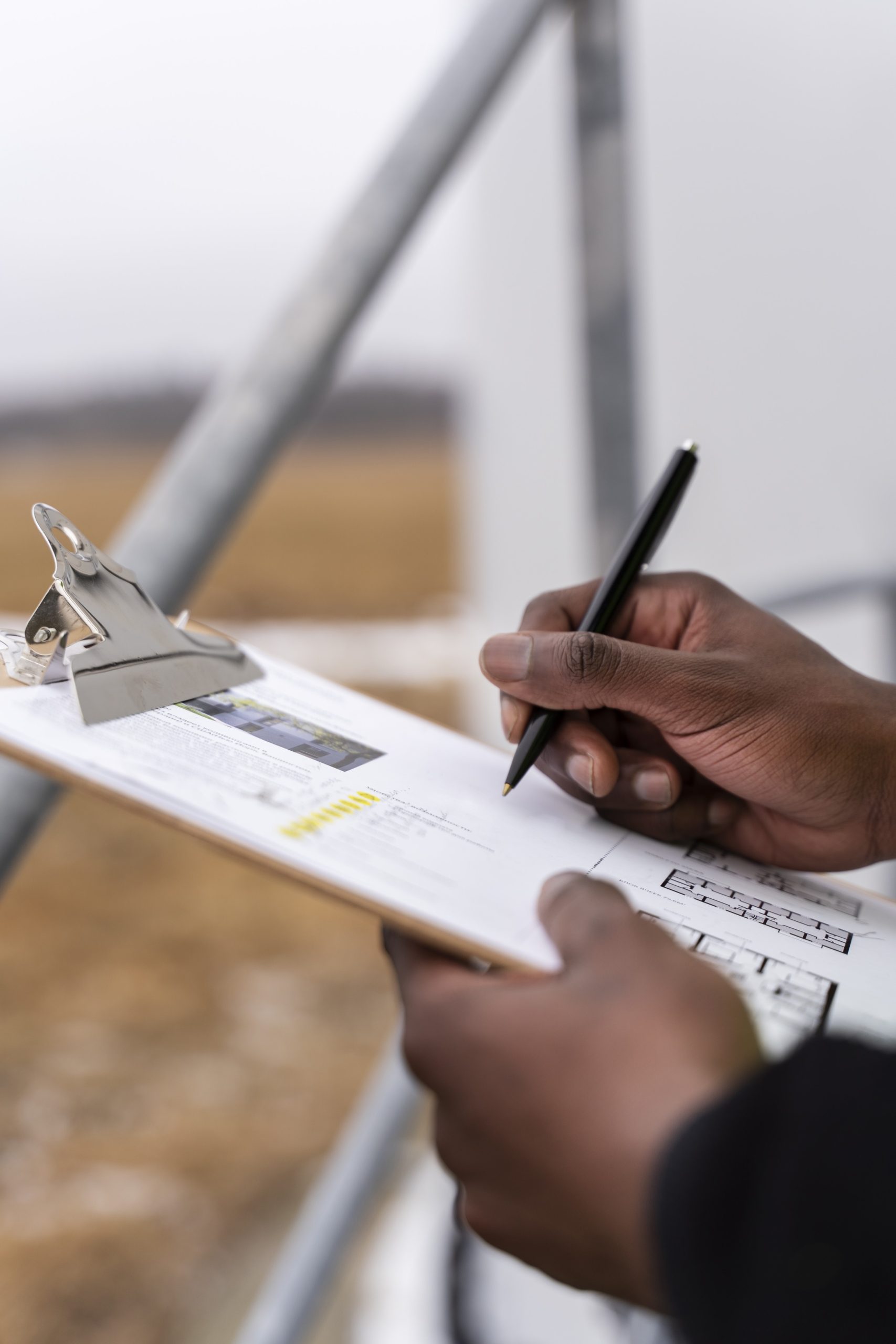
Field Data Collection & Survey Support
From digital forms to GPS workflows, we help you collect high-quality field data using mobile tools, together with our professional skills.
Read More

Geospatial Training & Capacity Building
We upskill teams through tailored GIS training programs covering QGIS, ArcGIS, remote sensing, and more.
Read More

Efficiency & Cost Reduction
We help organizations apply geospatial insights directly into their workflows, improving efficiency and reducing costs through smarter, data-driven decisions.
Read More